

Quote
"Enjoy the journey. It's not only about achieving the goal."
Updated: August 13, 2019

Disclaimer: If this hike is not a part of the Na Ala Hele "State Maintained" Trails, it may be illegal or dangerous to hike, so do not attempt or HIKE AT YOUR OWN RISK. Hik3beasthawaii is not responsible for any injuries, fines, violations you may incur. This website is solely to showcase the beauty that nature has to offer on the island of Hawaii. *****
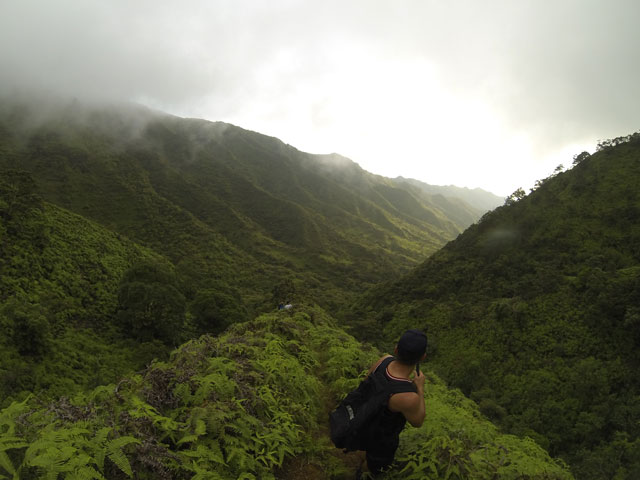
Location: Aiea Loop Trail is located deep in Aiea behind the Aiea High School. It is a short state-maintained loop trail through the forest with a lookout at the half way point of Halawa Valley.
Type: Forest hike
Hike Difficulty: Beginner
Total Time: 2 to 3 hours
Distance: 4.8 miles
Elevation:
Things to Consider
- Kid friendly: yes
- Pet Friendly: yes
- This trail can be really muddy so be prepared to get dirty. Bring extra clothes.
- This hike also had hunters and pigs can sometimes be seen on the trail. Be careful and lookout for those.
- This is a state-maintained trail with a bathroom in the beginning and a sink at the end point.
- Follow the trail and DO NOT venture off on indistinct trails. These are mostly hunting trails and should not be ventured into unless you know where you are going.
- There are minor inclines, but nothing too intense.
Your hiking backpack
- Bug spray
- 1.5 Liters of water
- Snacks
- GoPro/waterproof camera
- Extra clothes
- Towel
Directions
Head onto Aiea Heights Drive from the freeway. You can also take Kaamilo St past Aiea High School and merge onto Aiea Heights Drive. Continue up the road all the way til the end. The road is windy and going uphill, but eventually you end up at the state park. You can park at the bottom by the lower bathroom and walk up to the trail, or you can park up top by the start of the trail and you will just have an uphill climb at the end back to your car. We chose to park at the top parking lot. Also keep in mind that the park closes at 6:45pm so plan your hike accordingly.
Our Journey
Our original plan was to do Lahilahi Point in Makaha, but the traffic going into Waianae was too crazy! So instead we chose another close and short hike, which would be Aiea Loop Trail. I have actually ran this hike when I was trying to get into the military (but that's another story). But it is a hike where you can bring your kids, pets, bike, or even jogging shoes. However, this hike can get really muddy as well. It is an easy loop trail with markers and as long as you follow the trail, you won't get lost. There is also a trail to Kalauao Falls that is really easy to miss if your not looking for it. Expect to take about 2 to 3 hours, or 4 if you take a lot of pictures. Also remember that December and January the sun sets before 6pm so it gets dark pretty fast. Plan your hike accordingly.
Fun Facts
The H-3, also known as John A. Burns Freeway was built in the 1980s and was first opened in 1997. It took a long time to get built because of all the protests and environmental complaints. The original route was supposed to be through Moanalua Valley, but due to all the historical value and the Moanalua Gardens Foudation, the freeway was rerouted. Passing through the mountain to get from the Leeward side to the Windward side, the Tetsuo Harano Tunnels were built. The H-3 freeway was the third and last freeway built on the island of Oahu. It is also the most expensive freeway built.
This is where we parked. In the upper parking lot.

Continuing on the tree rooted path. There are a lot of fallen trees on the trail as well.

Another bench with a view.

A lot of interesting plants and trees on this hike.

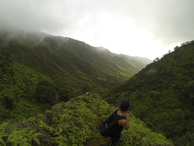
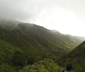
Finally we reached the lookout. This is the half way point for the loop.
You can see the H-3 freeway below.

A bend in the trail.

We were chasing the sunset. The sun was going down fast!

Head right here. You will cross a stream and then head back up through the forest.

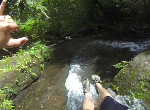
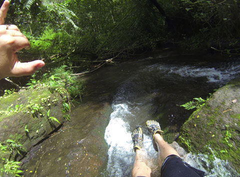
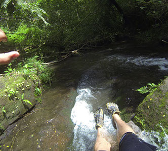
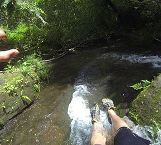
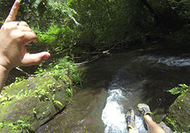
The stream was dry when we crossed it.

After about 10 to 15 minutes from crossing the stream, your out!
Wash up, clean your shoes, hands, and feet and then head up the stairs back to your car.

Add a comment about this post! Was it helpful? Love the hike? We'd love to hear from you!


